


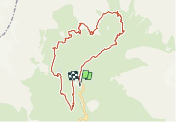


11.8 km | 24 km-effort

User


FREE GPS app for hiking
 SityTrail
IGN / Geographical institutes
SityTrail World
The world is yours!
Trail Walking of 13.4 km to be discovered at Provence-Alpes-Côte d'Azur, Hautes-Alpes, La Chapelle-en-Valgaudémar. This trail is proposed by ETMU5496.
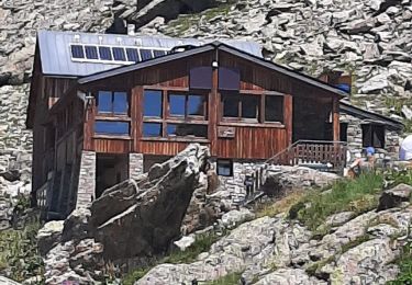
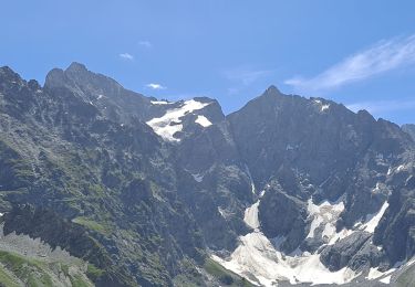
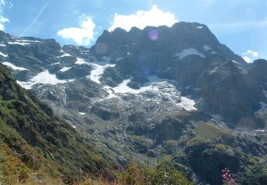
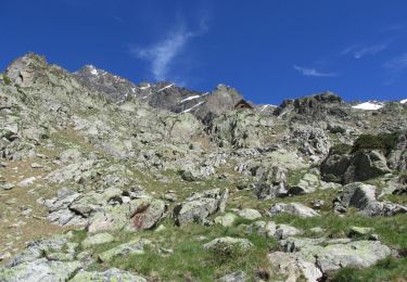
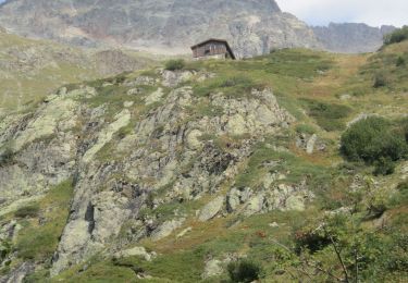
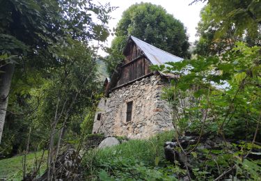
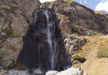
Depuis le chalet de Gioberney, ascension dans ce magnifique cirque glaciaire pour atteindre le refuge du pigeonnier en passant par l'abri du Vivaccier.
Redescendre ensuite vers la vallée pour remonter ensuite et atteindre le lac bleu.
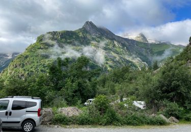
Retour ensuite vers le chalet de Gioberney


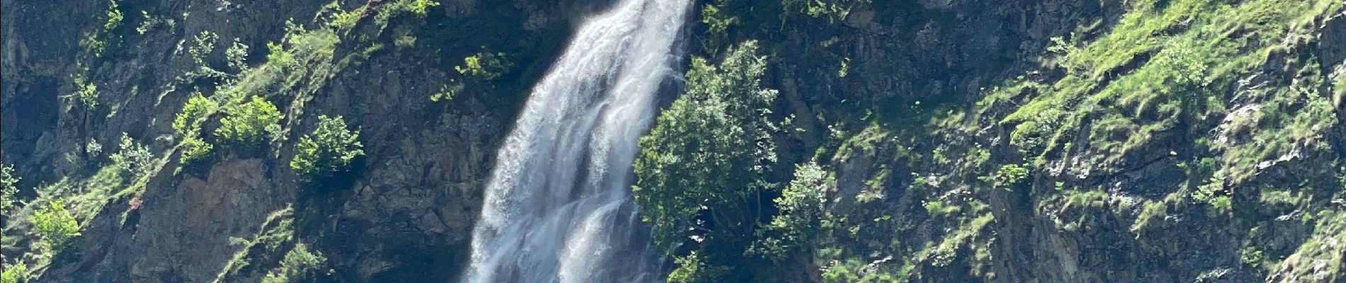
45 photos in total. Please click on a photo to see them all in the gallery.

Walking
Walking
On foot
On foot
Walking
On foot
Walking
Walking
Walking